Sharp PC-MC20 Manual de usuario Pagina 40
- Pagina / 59
- Tabla de contenidos
- SOLUCIÓN DE PROBLEMAS
- MARCADORES

- ARF-MikroKopter 1
- Introduction 5
- Intended Use 5
- Before each flight 8
- Flight simulator 9
- Safety rules for LiPos 10
- Charging the LiPo 11
- Using BID (Robbe) 11
- Overall View 12
- ARF-MikroKopter Connections 13
- Final Assembly 14
- First Test Flight 14
- Assembly of the landing gear 17
- Connecting the receiver 18
- Propeller assembly 19
- Inserting the battery 20
- Channel assignment 21
- First Test flight 22
- Settings 24
- Functions 24
- Maintenance 24
- Troubleshooting 24
- Step 1: Setup MK-USB 25
- Step 5: Connect the battery 27
- Step 8: Camera trigger 30
- Step 10: Test Gyroscopes 31
- Calibration 32
- Gyroscopes (Gyros) 33
- • Turn the Kopter by 90° 34
- • Pull Nick 1x downwards 34
- Functions / Flight modes 35
- GPS-Functions 36
- Teachable CareFree 37
- FailSafe 39
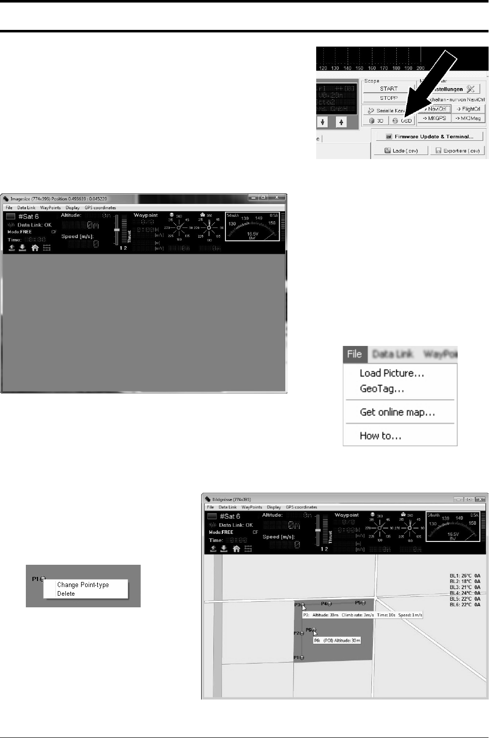
- WayPoint Flight 40
- ([email protected]) 42
- Assignment: 44
- Mounting the camera mount 47
- Camera trigger - Shuttercable 48
- Connection Bluetooth-Set 51
- Technical Data 53
- Delivery 54
- Fehlermeldungen (Error Codes) 57
- Disposal 59
- Impressum 59
© 2020, manymanuals.es. Todos los derechos reservados | 0.028 s |
 Manymanuals.com
 Manymanuals.de
 Manymanuals.fr
 Manymanuals.it
 Manymanuals.pl
 Manymanuals.cz
 Manymanuals.es
 Manymanuals-pt.com
Comentarios a estos manuales